Two lakes, a river, a couple of lookouts, lots of rocks, mud, and, of course, an anticipated uphill. Orphan Lake trail in Lake Superior Provincial Park (LSPP) has it all, and it makes for a great day’s adventure! I’m excited to finally give you a full post dedicated to a trail run-down, because I feel like that’s what I said I was going to start doing, and I haven’t gotten to it till now. The nice thing about this type of post, is that I can just look back at my pictures and let them guide the post. I did Orphan Lake with two close friends back in July for the first time, and I think I’ll be back in the fall when the leaves change!
The parking lot for the trail is pretty much right off the highway, so all you have to do is keep an eye out for the signs as you’re driving. I’d say it’s around an hour and forty-five minutes north of Sault Ste Marie, give or take a few minutes depending on highway traffic. Don’t forget to pick up some trail snacks or fuel at Agawa Crafts, if you need it (snacks are a must always, let’s be real here). Make sure you also buy and print a day pass online before you go, or pick one up at the Agawa Bay Visitor’s Centre. From the parking lot, begin your hike at the trailhead sign and have fun!
The first bit of the hike is mostly flat forest, with a few ups and downs. Be mindful of tree roots, also known as tripping hazards. I figured that one out more than once… Be sure to bring lots of bug spray as well, if you’re going during the warm season.
The first look out comes fairly quick into the trail, within the first 20 minutes of hiking. You get a very nice view overlooking Orphan Lake, and a peek towards Lake Superior on the other side.
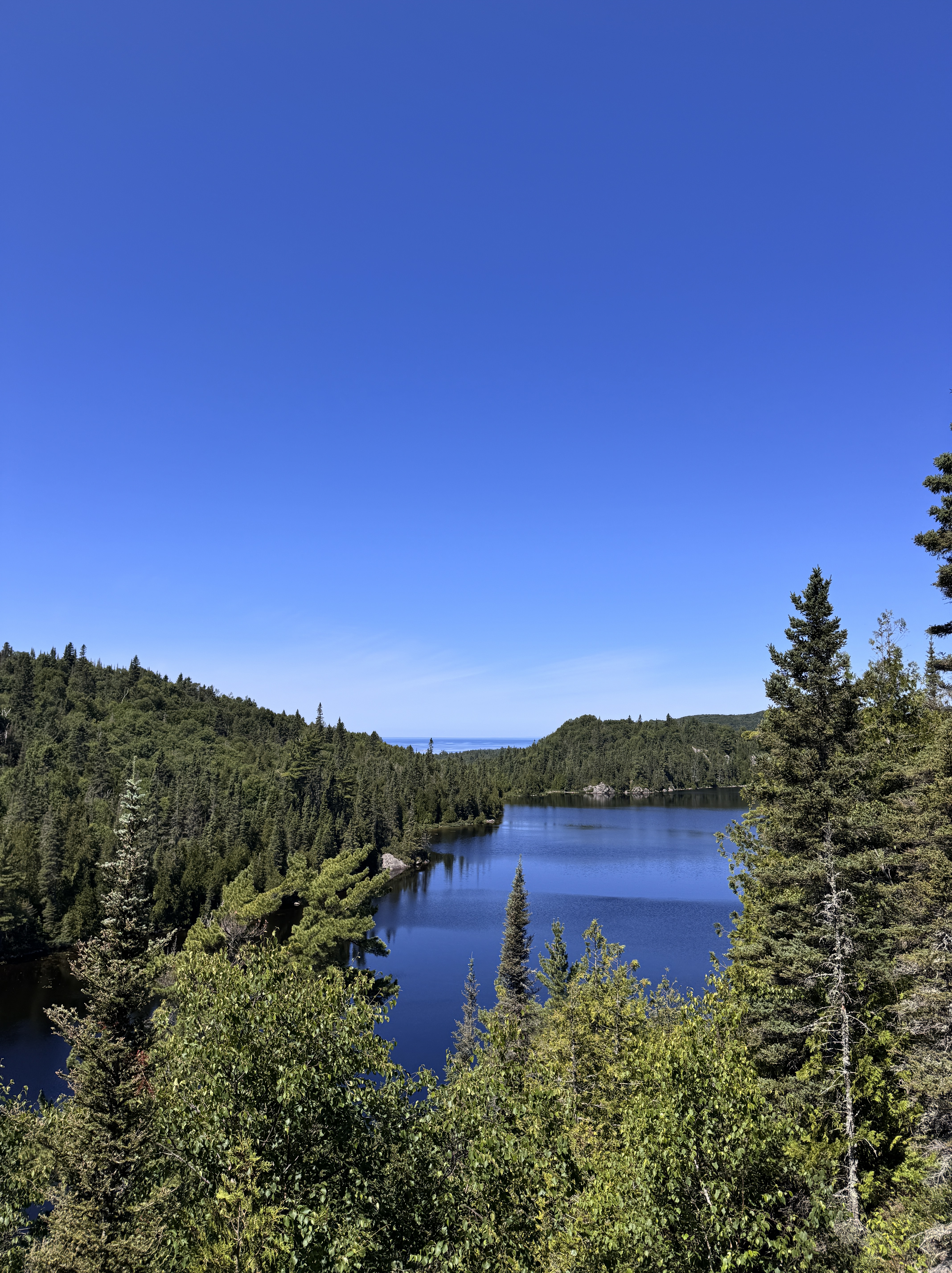

Orphan Lake on the left, Lake Superior on the right. If you look close, you can also see Superior in the horizon of the Orphan Lake pic.
After that, you continue your way along the path and hit an incline to get to the next lookout. I’ll throw in a picture that I tried to take of the steep rock we had to scramble up, but it really wasn’t as bad as I thought it would be. The second lookout features a stunning panorama of Lake Superior, and a stone beach below, where we hiked to next.

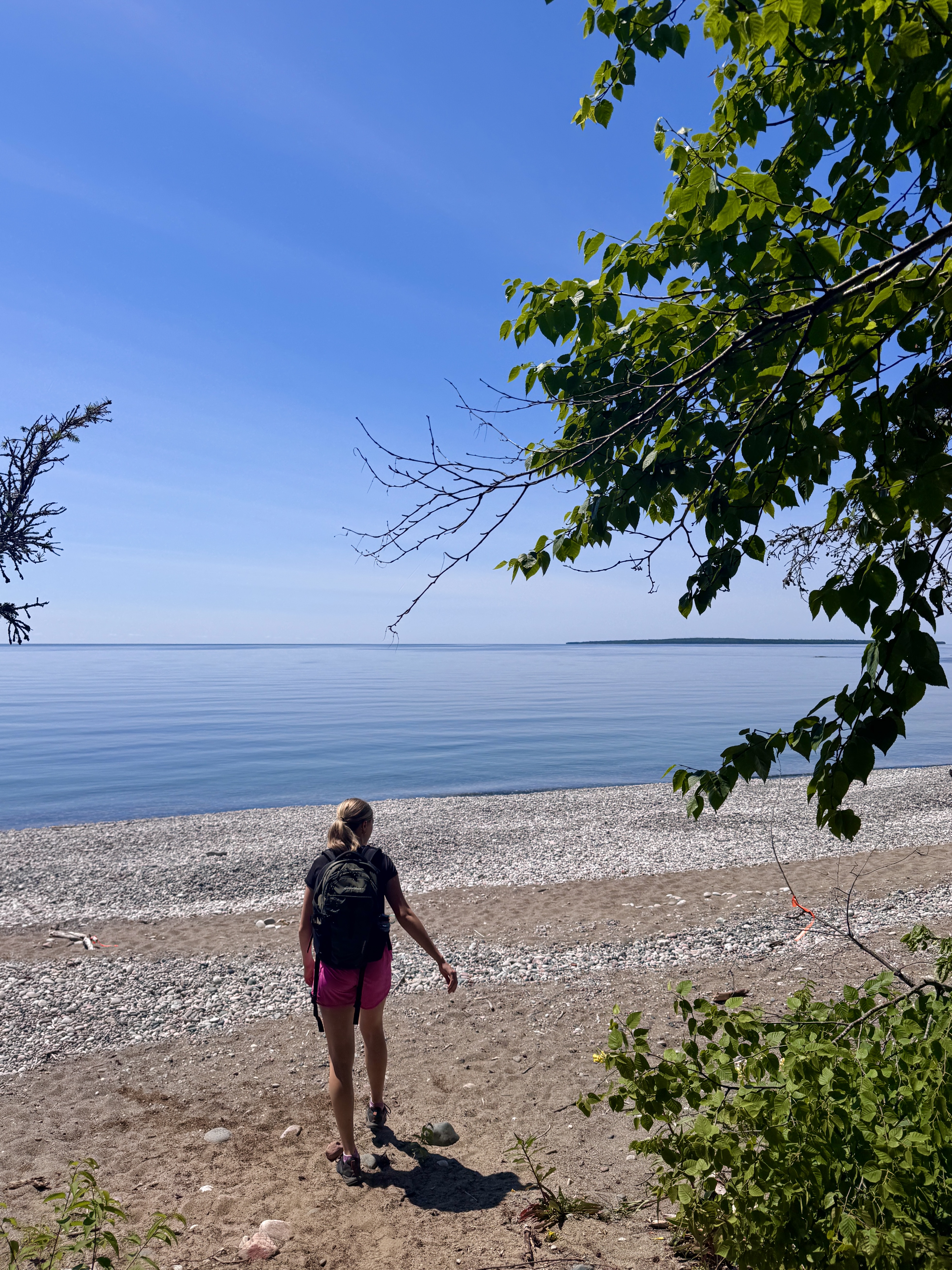
Naturally, I forgot to take a picture of JUST the view, so you get a pic with me in it instead 🙂 You can see that stone beach wayyy below, which means that half the hike was downhill, and the rest was up…
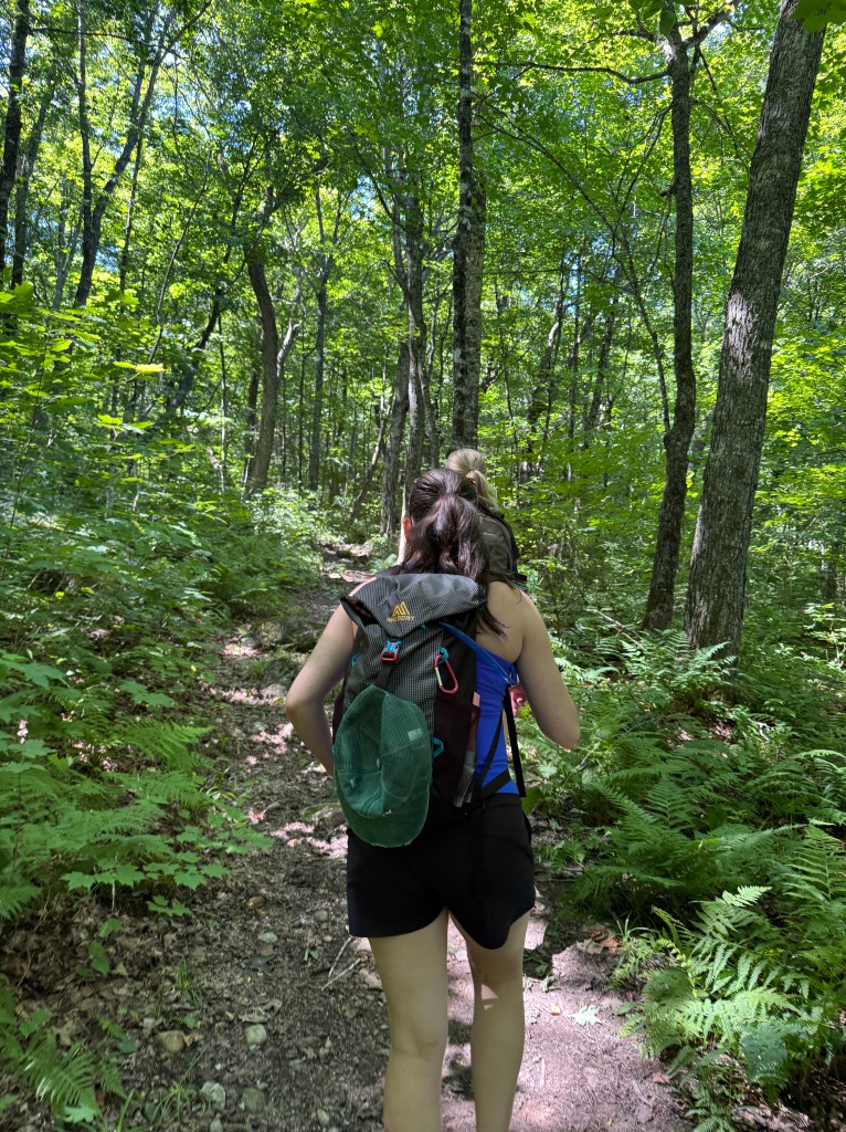
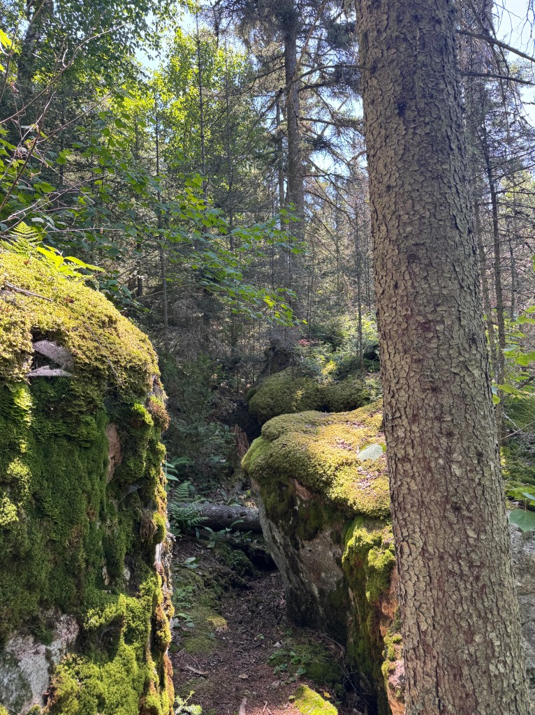
Most of the trail to the beach was comprised of big boulders, tree roots, and a steep decline. While downhill is usually less tiring, this section was a lot more technical than the uphill. I’m just glad I wasn’t carrying a big backpack or anything like that. The picture below shows you some of the boulders that surrounded the path. The ones in the picture were off to the side, we didn’t have to try to get over/around them at all.
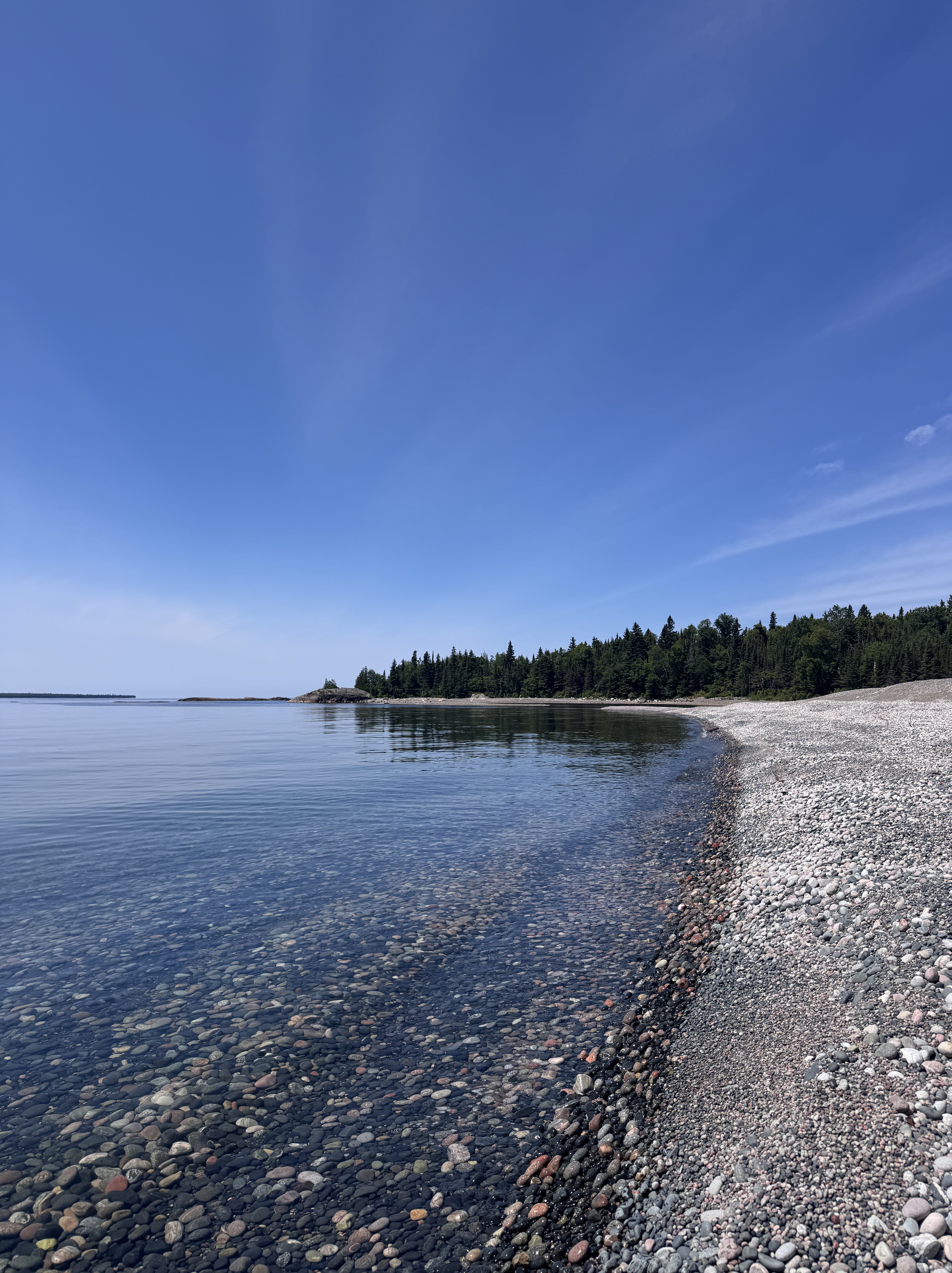
After another 20-ish minutes of hiking down from the lookout, the woods opened up into a beautiful stony beach. We sat here for a bit and picked out some cool rocks, and had a snack as well. We also took a little detour to the Coastal Trail, where we swam for about half an hour.
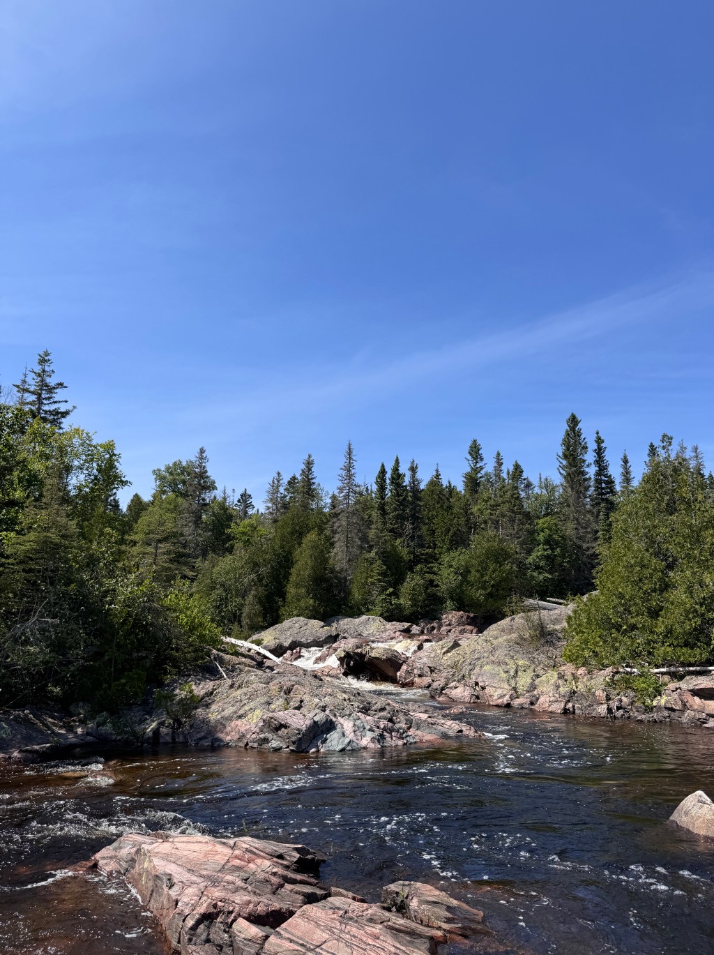
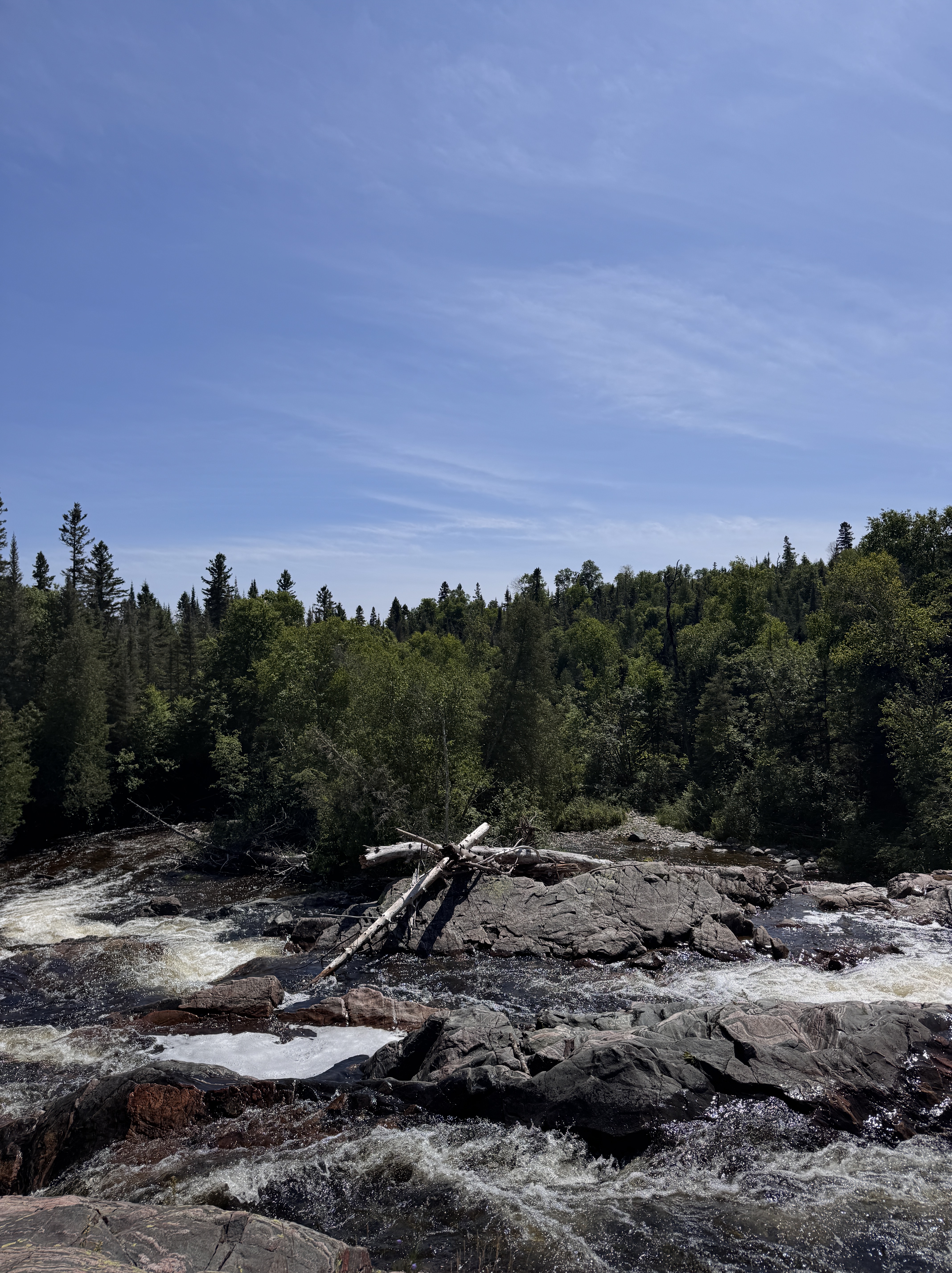
The trail follows the beach for a little while, before going back into the trees and following the Baldhead River. We stopped at the falls/rapids for a hopeful swim, but that didn’t really happen due to the high and fast-moving water. We got in just for a little break and some pictures, but no actual swimming. It was cool though to be able to walk out on the rocks and see the water moving all around you.

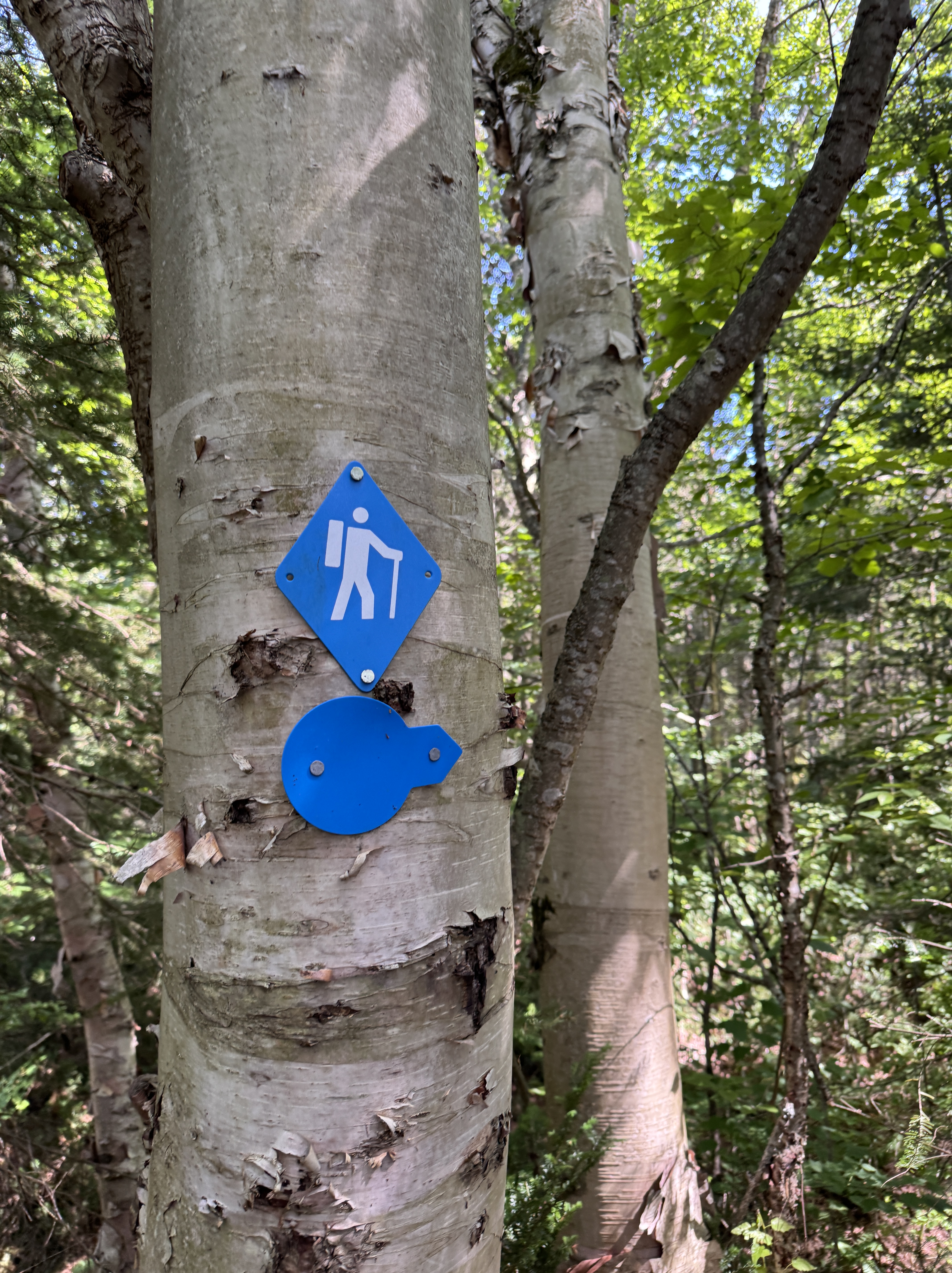
After a short stop at the river, we decided it was time to take on the dreaded walk back to the trailhead. It wasn’t even that the hike ahead was so bad, we just knew it was mostly uphill, and the easier parts were over. The steep declines that we faced in the first half of the hike were matched by inclines in the second half. However, there were no scaling rocks or overly strategic foot placements needed, just determination. We were met by a few last views of Orphan Lake, and plenty of trail marking signs to let us know we were headed the right way.
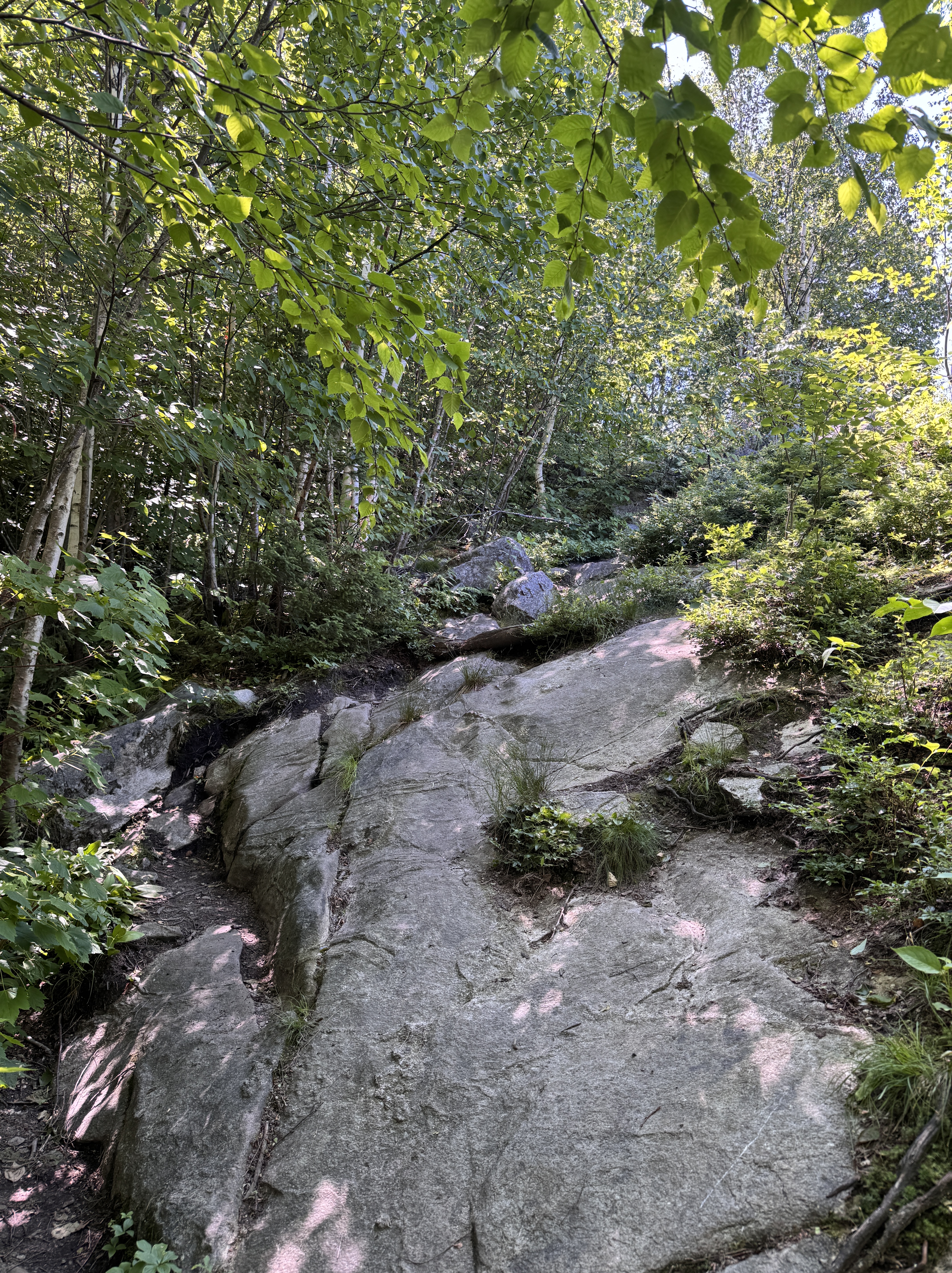
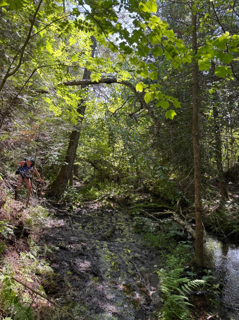
The last bit of the trail was a bit muddy, but nothing too terrible. You can spot my friend in the pic below scaling the moss-covered rock face to avoid dirty shoes. She was successful until the jump back to the trail, where she took a good slip and fall…
Our day came to a close back at the same trailhead we started at. It’s always nice to do a loop hike, as you’re seeing something new every step of the way. This 8km hike took my friends and me a little over 4 hours, but that included over an hour of stops and swimming, plus a short detour. We didn’t have any heavy packs or anything like that, and I think this trail could reasonably be done in two and a half to three hours. If you choose to take on this hike, or you’ve done it before, let me know what your favourite part of it was! As always, thanks for reading, and I hope you come across my page again!
